Rijswijk to Leiden: Bicycle Highway
Jonathan Zoccoli
Introduction:
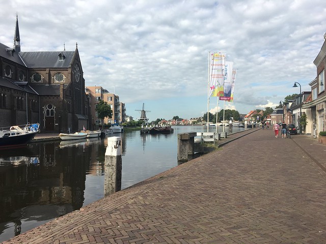
I rode the bicycle highway route from Rijswijk to Leiden, but ended at Vlietland Park. This route connects Rijswijk and commuters on Delftweg to Leiden. This is accomplished by establishing a direct route, with minimal barriers. The route parallels the A4 highway, providing a bike alternative to the highway. Conveniently, there is a canal parallel to the A4, and so this has become the bike highway route.
Critical Details
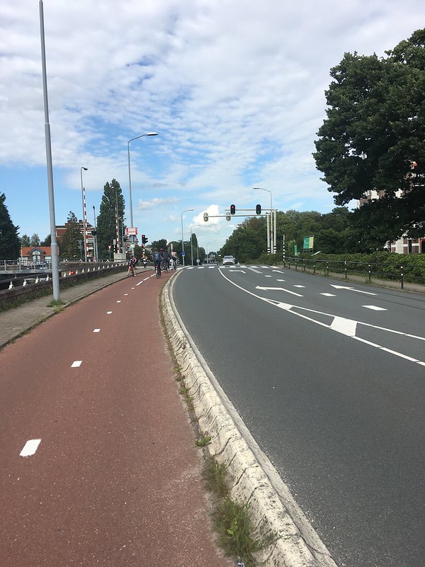
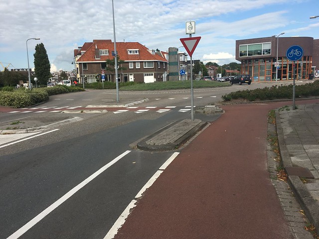
Section I: From Oversteek to Elzenlaan, the bike highway is a two-way cycle track that runs along the canal and the roadway. The bike highway is separated from the road way via vertical separation: the bike highway is raise 4 inches from the road.
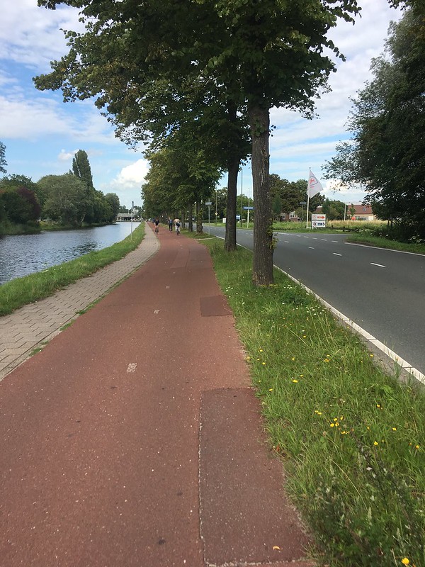
Section II: From Elzenlaan to Spoorlaan, the bike highway becomes horizontally separated from the roadway, instead of vertically separated. The bike highway stays at the same vertical level as the road way, and is now separated by a 5 to 6 foot grass and tree-lined median.
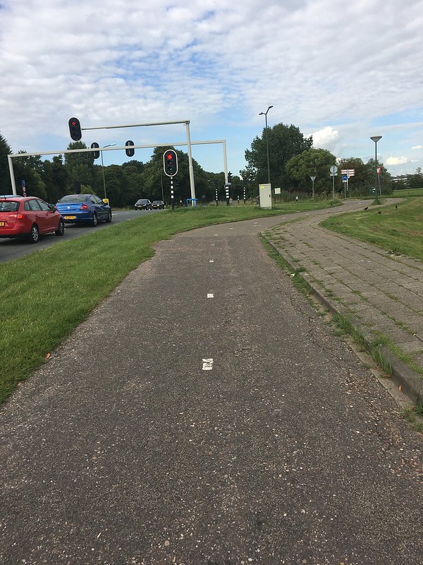
Section III: From Spoorlaan to Wellantcollege Westvliet, the bike highway crosses the road and is no longer right up against the canal. My personal observations have concluded that the reason for this is to make safer bicycle crossings farther along. There are two major “T” intersections, and the bike highway being moved across the street allows bicycles to cross in the safest spots. The crossing with Kerkstraat is made safe for bicycles as the highway does not intersect Kerkstraat, but still allows access. This means bicyclists won’t feel or notice they are going through an intersection because they are removed from the Kerkstraat crossing, and can continue on straight uninterrupted. Shortly after, the bike highway bows out to create a 90 degree intersection with Groene Zoom. This makes bicyclists cross farther away from the intersection, so that they only have to worry about crossing the Groene Zoom, and so cars can turn at 90 degrees and see bicyclists.
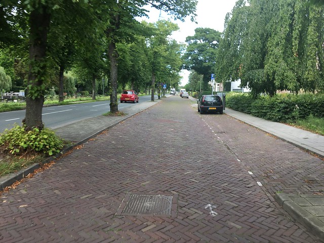
Section IV: From Wellantcolelge Westvliet to De Ruyterstraat, the bike highway alternates between two-way cycle track and service roads/fietstraaten. There is a large exit and on ramp for the A4 that empties out onto the canal road where the bike highway is. This means that many people who drive on the A4 either get off at this exit to go to work or get on the A4 to work elsewhere. The bike highway makes the most sense to be on the side of the businesses, which is what the side change that occurred at the beginning of Section III does. Where the business parks are, the bike highway becomes a service road, as vehicles need to access all the streets there. Separating these vehicles from the through road allows bicyclists to avoid dangerous and repetitive car crossings by mixing them with slow speeds of cars on service roads.
Section V: From De Ruyterstraat to Vlietweg Round-a-bout, the bike highway becomes one-way cycle tracks on either side of the street. This helps in creating a safer round-a-bout for bicyclists, as this round-a-bout only accommodates a one-way bicycle traffic flow.
Section VI: From Vlietweg Round-a-bout to Oostvlietweg (the town of Leidschandam), there is no dedicated bicycle highway infrastructure. The roads are treated as local roads, which slow traffic down and remove through traffic. This allows bikes to travel safely and quickly. The lack of dedicated bicycle traffic is perfect for traveling through a town like Leidschendam, where many people are entering and leaving the bike highway, with a tight grid of streets. The mixed local street design of this section of bike highway matches the fluidity of traffic and mobility necessary and natural for a central area of town.
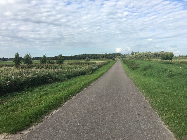
Section VII: From the start of Oostvlietweg into Vlietpark (where I turned around), the road becomes a country lane. There is no dedicated bicycle infrastructure or advisory lanes, but the road was still safe for bicyclists because car traffic was extremely low.
Statistics:
In total, I rode about 6.5 miles of the 11 mile bike highway (I did not bike into Leiden). Along the part of the route I rode, bikes only had to yield priority 4 times at stoplights/stops. I biked through 3 grade-separated crossings and one roundabout, in addition to numerous at grade intersections of low-traffic volume, and thus hold little significance. 45% of the route was on a separated bike facility. 20% of the route was on a mixed street or service road, and the last 35% was on open road in the country lane area, where there is no high traffic.
Navigating the Route:
I felt that navigating the bike highway was very simple. It was generally a straight shot and followed the canal the whole time. The signs were easy to read and were posted at important intersections. This was a sign post in the town of Leidschendam that was placed at a bigger intersection. This one helped me stay on the highway because I wasn’t sure if I was supposed to turn off or not.
https://www.flickr.com/photos/transportation-netherlands/35586912044/in/dateposted/
Conclusion:
The bike highway was a pleasant and easy ride. I felt that for people looking for alternatives to the A4 motorway, that the bike highway could be a suitable option. Most of the time I biked at a higher speed and just kept going, only stopping to take photos for this project and at a few intersections. It’s a low stress route and was a beautiful ride, made possible by the Vlietland park, which I really enjoyed.

