
Delft-Rotterdam Bike Highway- Stacey Bacheller
https://drive.google.com/open?id=1PePFb1LE0jU00IaDsdwmNfGjJuo&usp=sharing
Statistics:
Total distance: 15.7 km
Sections: 5
Intersections: 3
Roundabouts: 0
Yields: 1
Underpasses: 8
Bridges: 3
Percentages%
Smooth fast surface: 94%
Standalone path: 14%
Cycle track: 70%
On-street: 16%
Lighting: close to 100%
I chose to ride the 15.7 kilometer bicycle highway from Delft to Rotterdam, travelling along the river Schie. It was very easy to follow since one simply follows the road Rotterdamseweg from TU Delft, through the towns of DeZweth, Kandelaar, and Overschie, then reaching the city of Rotterdam and ending with the Maastunnel.
The bicycle highway can be broken down in to five sections (see map).
Section 1: Cycle track by TU Delft- Zweth Bridge (5.27 km)
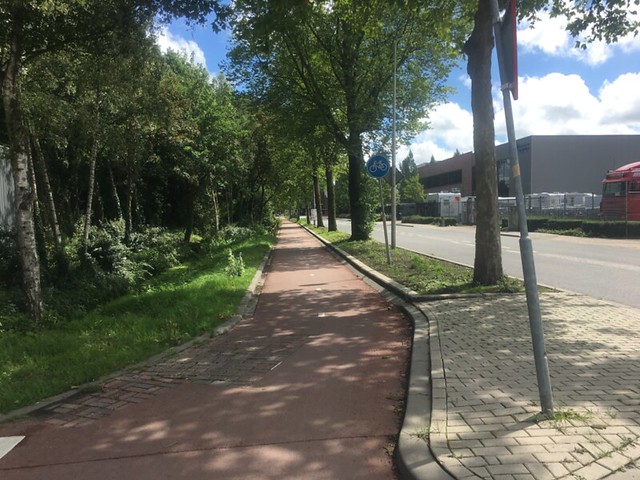
Figure 1: Cycle track by TU Delft
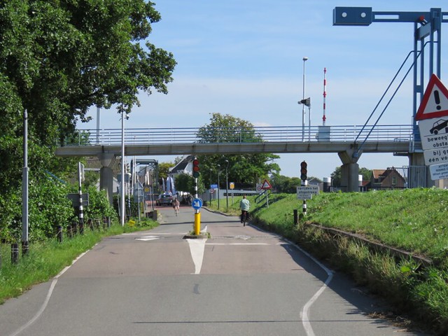
Figure 2: Picture of metering on Rotterdamseweg
The first section by TU Delft is a pleasant two-way cycle track on Rotterdamseweg. Along this track, it was easy to ride side-by-side with a friend. Along this track, cyclists have priority; however, very few cars were seen on this route since it is along a country road with local farms and properties. In addition, Rotterdamseweg has a traffic meter that also limits the volume of cars on this route.
Section 2: Advisory Lanes- Zweth (645m)
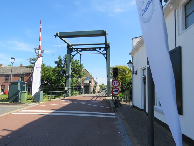
Figure 3: Bridge entering Zweth, transition to advisory lanes
After going over the narrow bridge, one enters the village of Zweth and is greeted by a short stretch of both unmarked and marked advisory lanes. However, shortly after the bridge the advisory lanes become marked with red asphalt.
Section 3: 2-way cycle track- Kandelaar (1.3 km)
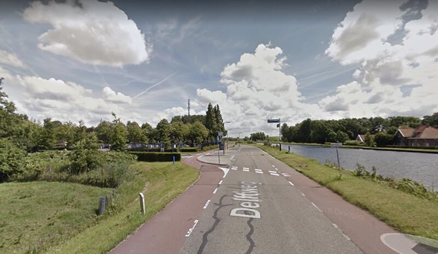
Figure 4: Merging of advisory lanes to two-way cycle track
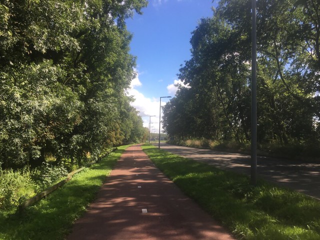
Figure 5: Two-way cycle track in Kandelaar
Section 4: Back to advisory lanes (1.84 km)
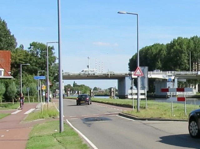
Figure 6: Transition from two-way cycle track to advisory lanes
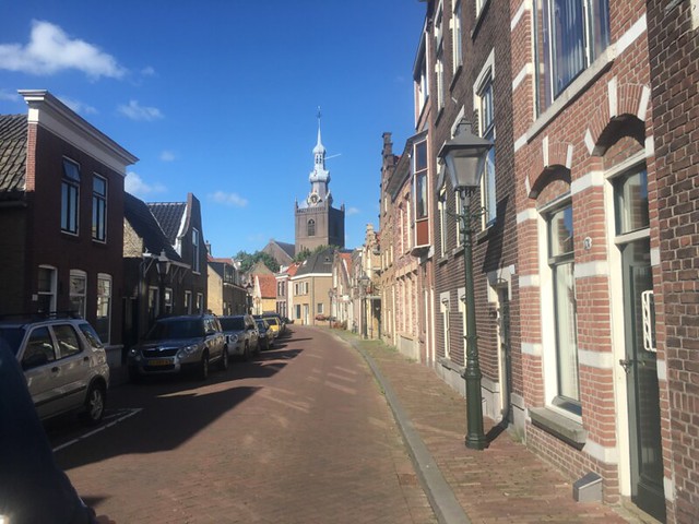
Figure 7: Unmarked brick advisory lanes in Overschie
Shortly before travelling under the S114, the two-way cycle track splits back into advisory lanes. The advisory lanes are still low-stress since such little traffic was observed. During these 1.84 kilometers, the advisory lanes transition from red asphalt to unmarked brick. In addition, the road for cars transitions from black asphalt to brick. When the advisory lane changes to brick through the town of Overschie, cycling conditions became the most uncomfortable as the brick made the ride bumpy.
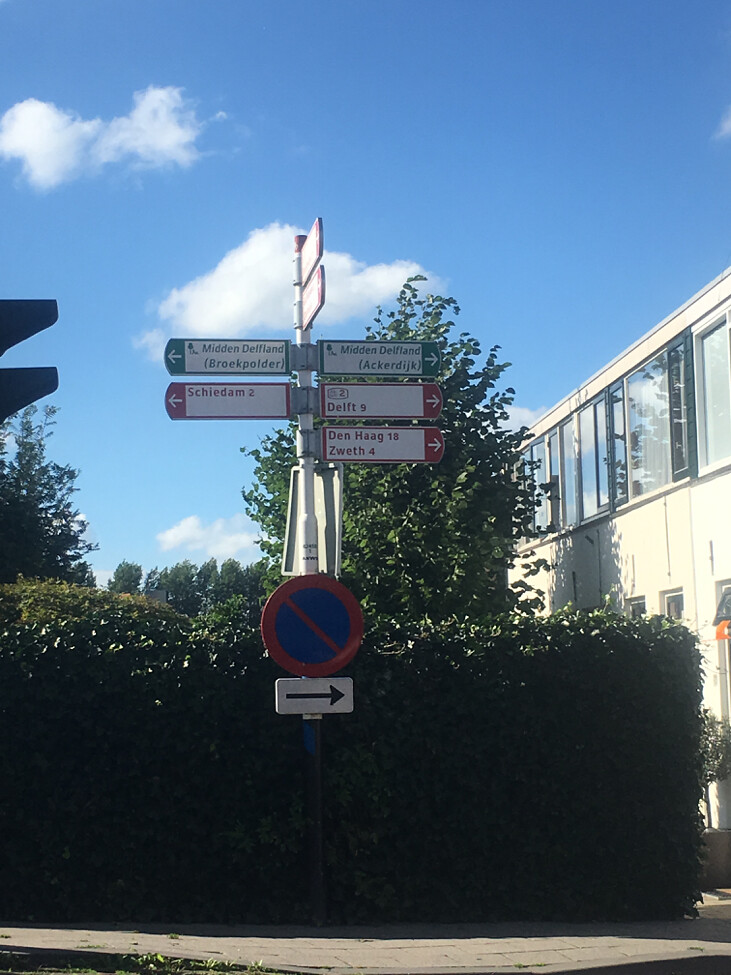
Figure 8: Important sign in Overschie
Shortly before the final section was an important sign.
Section 5: 2-way cycle track along Delfshavense Shie to Maastunnel (5.94 km excluding tunnel)
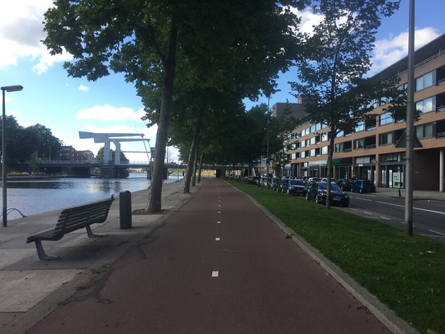
Figure 9: Two-way cycle track in Rotterdam
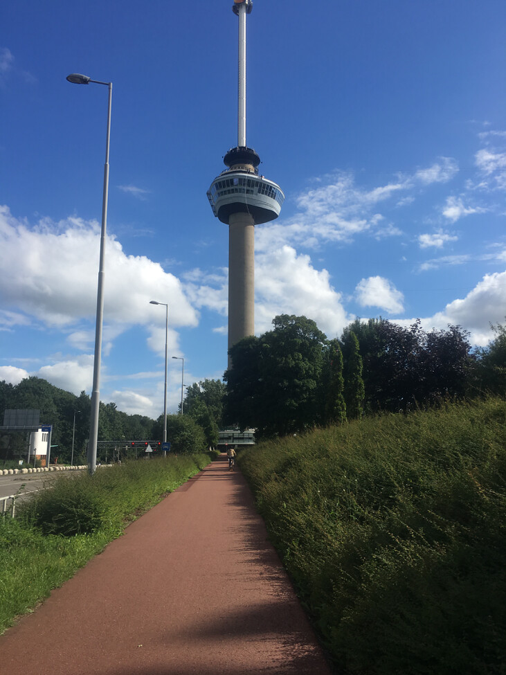
Figure 10: Euromast tower on way to Maastunnel
The final section, excluding the distance of the Maastunnel, is around 6 kilometers of pleasant, two-way cycle track. This section of the cycle track travels through 6 underpasses, one bicycle bridge and three intersections with traffic lights. The three traffic lights were the only places during the bicycle highway where cyclists may have to stop. During my trip, I had to wait for two of the lights to change; however, the light changed within 20 seconds. This section also had the Euromast monument shortly before the end of the bicycle highway.
Before entering the Maastunnel, cyclists must yield to cars travelling on Parkkade.
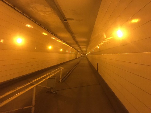
Figure 11: Inside of Maastunnel
Conclusion:
The overall experience of riding the bicycle highway was very pleasant. Most of the route is along a separated cycle-track; however, even when the track splits to advisory lanes the road is very smooth. The path took less than an hour; however, traveling back to Delft from Rotterdam the weather became windy and thus less pleasant. If having a bicycle in the city is desired, the bicycle highway would be easy to use for intercity travel; however, the train may be preferred for travelling to work since weather can be avoided and one can arrive fresh.