
Rijswijk to Leiden
Alison Lunny
General
I chose to ride the Rijswijk to Leiden but only was able to bike to the Vlietland Park. This map shows the entire bicycle highway, the route I rode, points that will be referenced throughout the report, and the road types along the path I rode.
This bike highway follows the river Vliet, a shipping canal and runs parallel to the A4 motorway. This connection is important because if a commuter was driving to work on the A4, they could easily switch to the bike highway and not have to follow complicated directions. It is also important because it connects Rijswijk, Voorburg, Ypenburg, Leidschendam, and Leiden and has connections that go to the Hague. The directness and simplicity of directions are important in designing bike highways because if the route is confusing, then users are more likely to get lost and bikers shouldn’t have to pull up directions to get somewhere.
Statistics
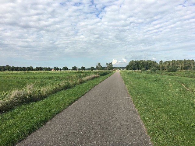
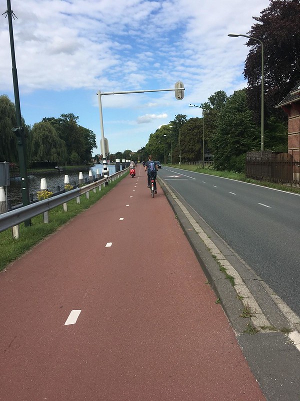
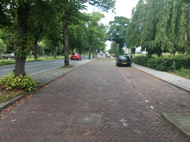
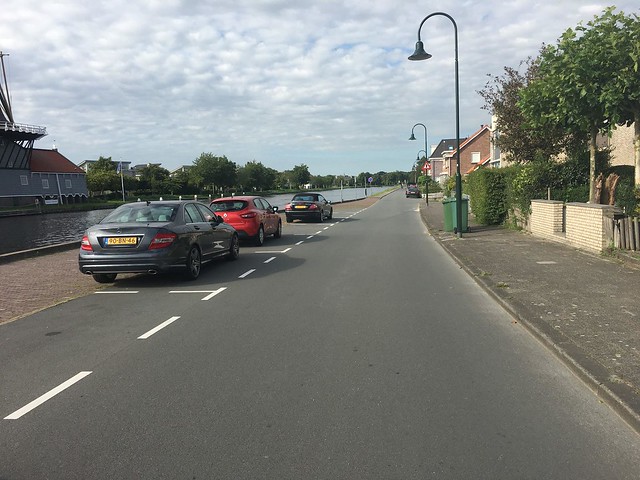
The one-way distance of the highway is 10.8 miles (17.4 km) and I biked out 6.2 miles (9.9 km). Along my bike route I had to yield to cars or stop at a stop at stoplights four times. I passed under three grade separated crossings, and went through one roundabout. About 45% of the highway I biked was on a separated path, 35% on a cycle track, and 20% on a street. Photos of the three conditions are shown below.
Biking Experience
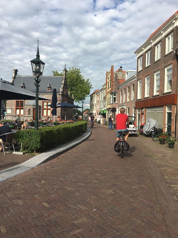
The bike highways was easy to ride on and I never felt like I was exposed to heavy traffic. Most of the distance where I was biking on a street it was on a service or local road paved in bricks, so I felt comfortable using most of the road. The only barrier in this highway is the village of Leidschendam. The bike highway leads bikers right through the town center and along a small stretch you are biking through a row of cafes and have to watch out for waiters serving food or people walking.
Immediately after you pass through Leidshendam, you bike on a 60 kmh rural road. When entering the area I was a little unsettle to be sharing the road with cars going 35 miles an hour, but I found out that cars rarely drive on the road. Along the two-fifths of a mile I rode on this section of the road only one car passed by me.
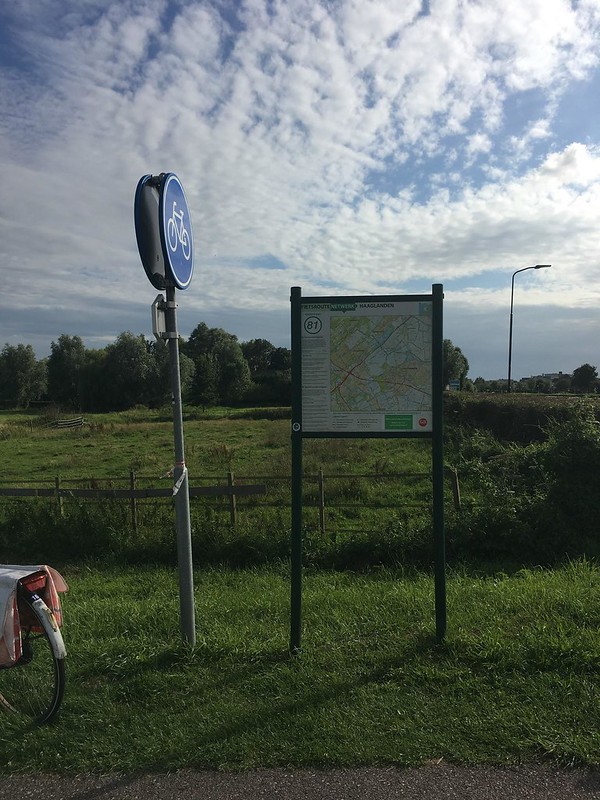
Following the route wasn’t that hard because I just made sure I was following the canal and once I reached a bike path with a large map going into the Vlietland Park, I turned. This is the sign that I saw from the road.
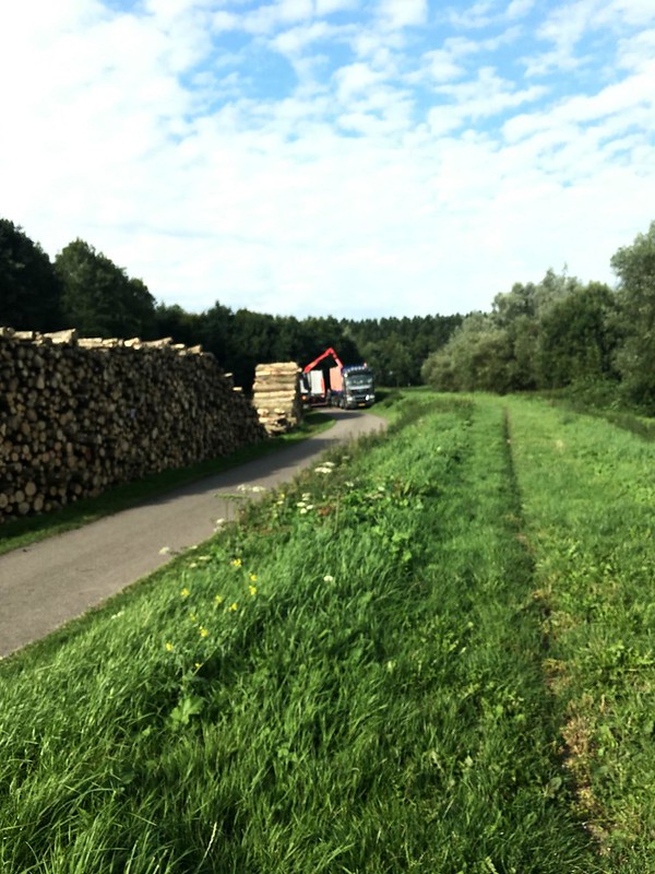
Vlietland Park was where I turned around. It was very pretty and peaceful. Since I went in the middle of a week day, I had to yield to some loggers. This was inconvenient because I had to walk my bike up onto the pedestrian area to avoid the machinery.
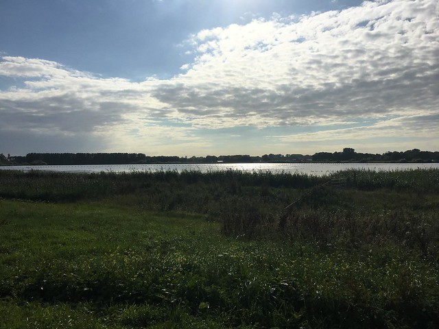
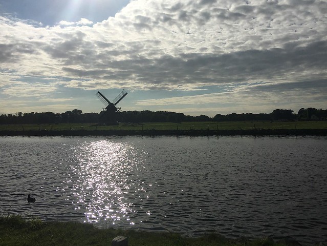
But beyond that, the park was really nice. There were signs around the lake talking about the types of birds that live there and the bike path was lined with fields. Below is a picture of the lake I passed, and then a windmill on the canal taken on my way home.
My ride was very pleasant and since it was on a canal, I could watch people rowing or boats riding down it. Because of its beauty and simplicity, if I worked or lived near this highway, I would definitely use it to commute.