
The Hague – Leiden Following the N44 Motorway
(Emma Katz with Jesse Morrow and Trzaskowski)
Description
The route we traveled was from Park Koekamp to Leiden along the N44 motorway. From the park to the turn off the bike highway to Leiden city center, we encountered four different environments (see map below). Within the park we traveled along a multi use bike path, which was wide and lined with trees (section A). At one point we had to cross over four lanes from Park Koekamp to Haagse Bos, which was the only difficult part of this trip and that was mainly because we were confused where the best place was to cross. Upon crossing the road, we traveled through Haagse Bos, which continued the wide path for bicyclists and pedestrians from Park Koekamp. This was very pleasant and easy to navigate. After the park, we started traveling along N44. The first part of the bike highway (section B) was a two cycle track. There was ample separation between the cycle track and motorway for the whole time. At times it was a grass strip but for most of the time there was a physical barrier of concrete or trees. The cycle track then turned into an advisory lane (section C) as we entered a more residential area. The advisory lane ended and then turned back into a cycle track (section D) as we ended the route to Leiden. After the bike highway ended we rode through the outskirts of the city, which were residential roads with advisory bike lanes as well. As we entered the more urban and dense part of Leiden, advisory lanes turned into separated cycle tracks and then red paved roads with brick in the center of the city.
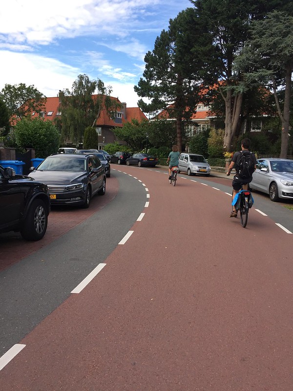
Figure 1: Leiden outskirts advisory bike lanes
The N44 is one of the more direct ways to travel to Leiden from the Hague by car so it makes sense that a bike highway was built along this motorway. It was a bit difficult to find the start of the highway from Den Haag Central, but once we got in the park and saw the signs it was very easy to follow into the center of Leiden and proved to be a direct route with no turns until we got to the turn off the highway to get to Leiden. The bicycle highway had very smooth pavement and was very to pleasant to ride on. Before traveling on this route, I thought that riding next to a highway would be unpleasant with all the noise from cars but, for most of the trip, there were walls or trees that acted as visual and sound barriers. For the parts of the trip where we were traveling in advisory lanes, there wasn’t much traffic at all. Once we arrived in Leiden city limits, we were traveling in neighborhoods, but this was also very direct and when we had to make turns there were wayfinding signs. The roads in the neighborhoods were smooth and there weren’t many cars.
Stats
Segment Length: 9.2 km
Number of stop signs/yield points: 6
Overpasses: 0
Underpasses: 1
Roundabouts: 0
Smooth/Fast Surface: 65%
Stand Alone Path: 35%
Cycle track: 51%
Advisory bike lanes (on street): 14%
Lighting: Approximately 100%
Conclusion
As mentioned earlier, the route was very easy to follow once we got into the park as well as very direct. There were signs at every intersection and once we got into the city limits, there were signs at almost every corner to direct us.
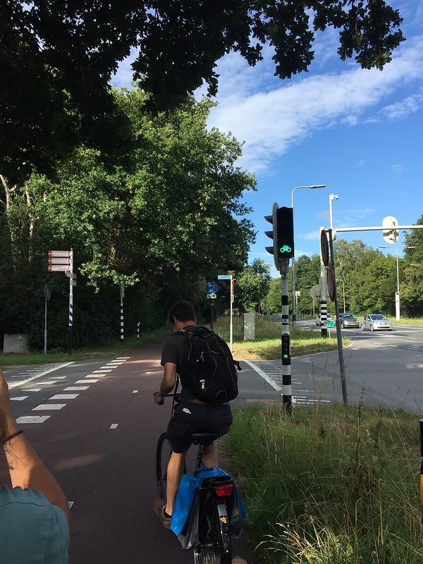
Figure 2: Intersection with way finding signs across the street
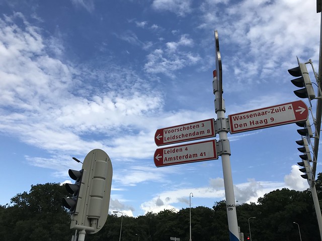
Figure 3: Way finding signs
The ease at which we were able to travel along this bicycle highway allowed us to enjoy the sights around us.
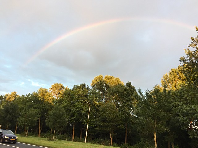
Figure 4: Rainbow!
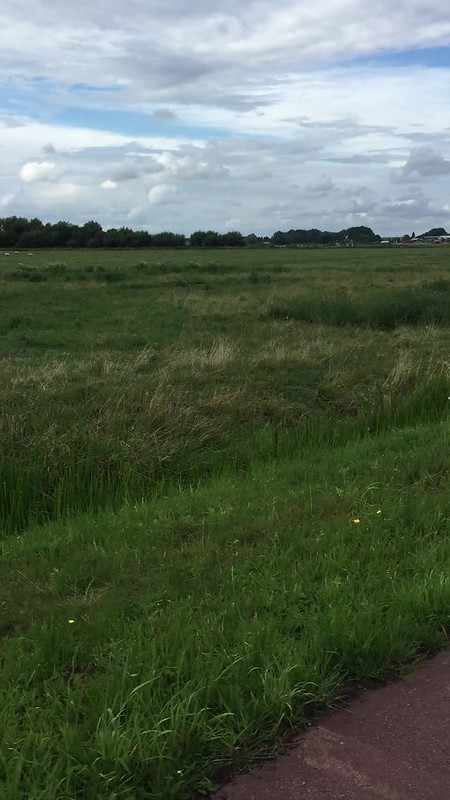
Figure 5: Views from cycle track
The noise from the motorway was barely noticeable and, for most of the route, it felt as if we were riding through a park. At one point, we were riding through an open field and saw plenty of farm animals and even a rainbow, which made us forget that we were only a few kilometers from a city and riding right next to a busy motorway.